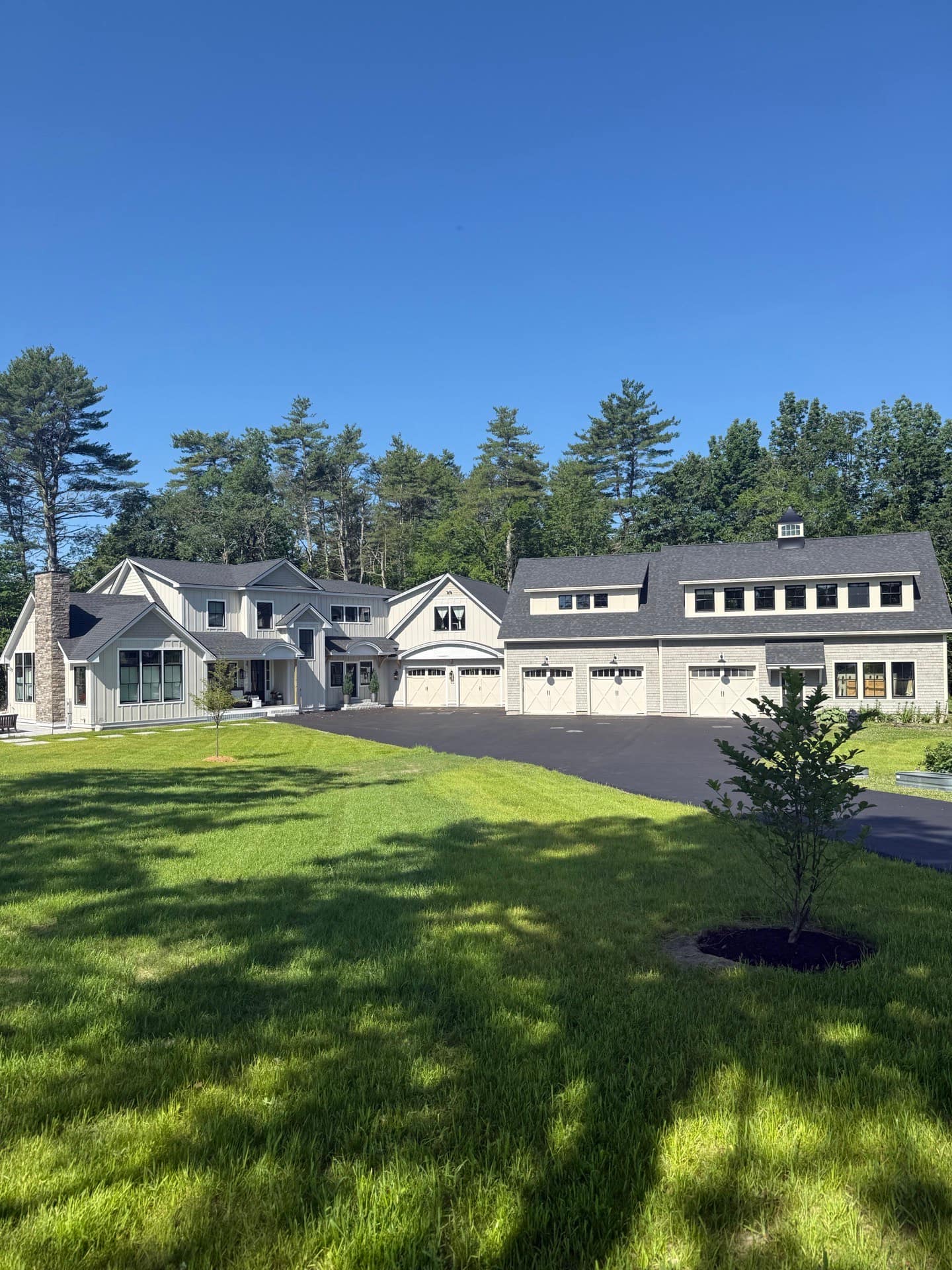
Electrical Work in Shapleigh
Shapleigh is a lake and woods town of about 3,000 people in northern York County, made up of the villages of North Shapleigh, Shapleigh Corner, Ross Corner and Emery Mills. Routes 11 and 109 cross it, Mousam Lake and Square Pond are its main waters, and Fort Ridge tops out at 1,114 feet. The Great Fires of 1947 destroyed most of the town, so its homes are largely postwar. Many are camps and seasonal houses, and nearly all rely on Central Maine Power lines through forest.
Shapleigh Homes and Their Wiring
The 2020-2024 American Community Survey counts about 2,060 housing units in Shapleigh, and about 890 of them, roughly 43 percent, are held for seasonal use. That is the defining fact of the town's electrical picture: a large share of buildings are camps and second homes around the lakes, some wired decades ago for summer weekends. About 96 percent of homes are detached single-family houses, and about 95 percent of occupied homes are owner-occupied. The median year built is 1980. Because the 1947 fires took most of the older stock, only about 10 percent of homes predate 1940; building since 2000 accounts for about 27 percent, and about 11 percent has gone up since 2010. Winterized camps with undersized services sit next to new houses built to current code.
Heating, Heat Pumps and EVs in Shapleigh
Fuel oil heats about 57 percent of Shapleigh's roughly 1,140 occupied homes, according to the Census survey, with propane at about 19 percent and wood at about 10 percent. Electricity is the main heat for about 12 percent, a larger share than in Acton, Newfield, Waterboro or Alfred, and often a sign of baseboard heat in camps and smaller houses. Replacing baseboard or an oil boiler with heat pumps changes the electrical load profile, often for the better on the bill but not always within the panel's limits. Efficiency Maine's $400 off-peak incentive for a Level 2 charger brings electric vehicles into the same capacity conversation.
Power Outages and the Grid in Shapleigh
Central Maine Power serves Shapleigh from its Alfred district, according to the state's electric service area map. Power reaches lakeside roads and hill farms over overhead lines through dense woods, where falling trees and limbs are the usual cause of outages. York County has been named in federal major disaster declarations for the October 2017 windstorm, the January 2024 storms and flooding and the severe winter storm that began April 3, 2024. For year-round residents on the lakes, a standby generator or a safe portable hookup protects the heat, the water pump and the freezer when the grid goes down.
Getting to Know Shapleigh
Shapleigh began as Hubbardstown, settled in 1772 when Simeon Emery built a sawmill at the foot of Mousam Pond, and was incorporated in 1785. Sawmills ran at Emery Mills, Shapleigh Corner and North Shapleigh, which also had the Hargraves woolen mill, a leather board factory and, from 1837, a blast furnace fed with bog iron. In October 1947 wildfires destroyed most of the town; a state marker at the Ross Corner fire station records it. Today the villages sit between lake shores lined with camps and wooded hills.
Electrical Permits and Inspections in Shapleigh
Shapleigh's code office enforces shoreland zoning, the state plumbing and subsurface wastewater rules and the floodplain management ordinance, and lists the Maine Uniform Building and Energy Code as the town's building code. The town does not issue electrical permits. Its published electrical requirements say an electrician pulls any required permit from the state, a state electrical inspector does the inspection, and results are forwarded to the code office. New or renewed utility service also needs Central Maine Power's Form 1190, signed by a town official to certify subdivision and shoreland zoning compliance.